
Introducing TerraG
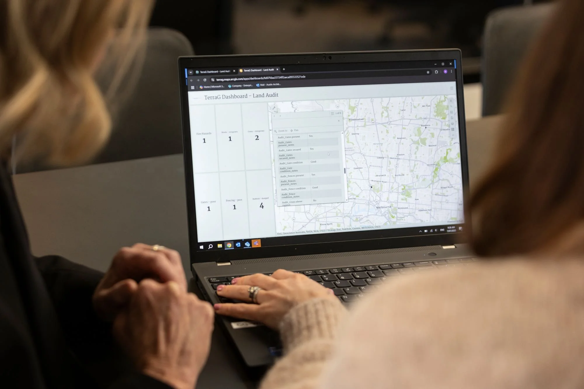
TerraG is an advanced, custom-built, Geographic Information System (GIS) platform that pairs mapping with field data, offering users extensive insights into their land or property assets.
Through capturing, filtering, and analysing real-time field data, TerraG, empowers proactive, responsive and data-driven management - enabling clients to mitigate risks and make informed decisions supported by empirical evidence.
TerraG Service Models
End-to-End
CGES delivers an end-to-end solution encompassing both TerraG and traditional property & land management services. Clients benefit from a seamless integration of technology and expert oversight.
Project-Based
For specific, once-off projects, CGES offers tailored services aligning with the unique requirements of each client. The scope of TerraG’s utilisation, is customised accordingly.
Self-Service
CGES provides comprehensive onboarding services utilising client-supplied data to create the TerraG platform. Post-setup, clients independently manage ongoing field data collection and oversee their land, property and assets.